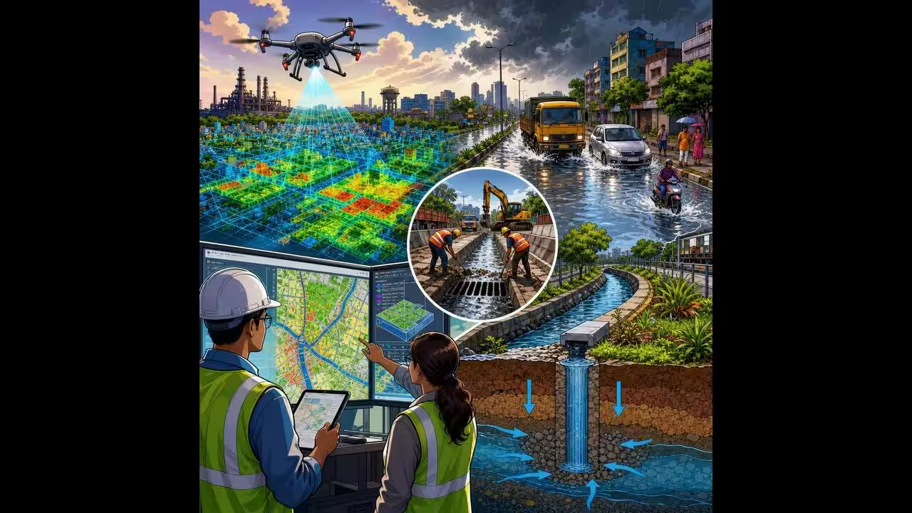
Bhilai Municipal Corporation to map drainage network with GIS, drone surveys
Bhilai Municipal Corporation will use GIS mapping and drone surveys to map drainage, curb waterlogging, improve recharge, test water quality, and build a 3D “JAL-RAKSHA” digital twin.