El Niño is being 'supersized before our eyes,' U.N. warns. What that means for the weather where you live this fall and winter.
El Niño is expected to persist until February 2027, bringing risks of extreme weather.
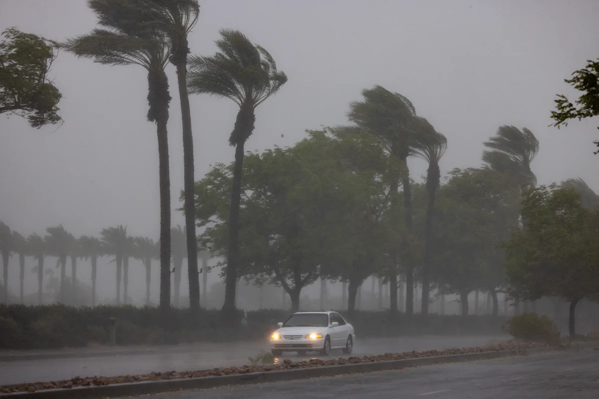
El Niño is being "supersized before our eyes," and the world is in "the danger zone of extreme weather," the U.N. warned Thursday.
The latest data on the natural weather phenomenon indicates an "exceptionally high likelihood of nearly 100%" that the current El Niño will continue until February 2027.
The more powerful an El Niño, the greater the likelihood that it will significantly shift rainfall and temperature patterns worldwide and fuel extreme weather. NOAA has previously warned of a 69% chance that this El Niño will be the strongest in the past 70 years.
El Niño officially formed in June and, according to the World Meteorological Organization, is expected to continue over the fall and winter. Its peak is projected to be toward the end of this year.
"The science leaves no room for doubt: the planet is in uncharted waters, and those waters are heating up," U.N. Secretary-General António Guterres said in a statement on the climate phenomenon Thursday.
"Sea surface temperatures are rising, temperatures keep climbing, and the world is in the danger zone of extreme weather. The race now is between rising risks and our commitment to take climate action and protect people. We must win that race."
"We are already seeing disruption and devastation from droughts and floods and we expect these impacts to increase as El Niño intensifies," added WMO Secretary-General Celeste Saulo.
In North America, El Niño tends to increase the likelihood of wetter conditions in the South, milder temperatures in the North and a quieter Atlantic hurricane season. Its most significant impact on U.S. weather is likely to emerge in the fall and peak during the winter.
What will this mean for the weather in the U.S.?
The severity of El Niño's impacts depends on where you live.
"El Niño tends to increase the storm track over the southern tier of the United States, increasing the chances of above-average precipitation," Michelle L'Heureux, a physical scientist at NOAA's Climate Prediction Center, told Yahoo News in August.
Broadly speaking, northern parts of the country could see warmer temperatures, while other regions may experience drier conditions.
L'Heureux said the southward shift in the storm track also leaves parts of the northern U.S. drier than normal and increases the likelihood of above-average temperatures.
A strong El Niño typically brings wetter and cooler-than-normal conditions from late fall through winter. Thunderstorm activity often increases along the Gulf Coast and in the lower Mississippi and Tennessee valleys. Spring and summer wildfire risk also tends to decrease across the Southeast.
El Niño often brings wetter-than-normal conditions, especially during midwinter, although the signal is less consistent than in the Southeast. Increased precipitation can also reduce spring and summer wildfire risk across parts of the Southwest, including the Great Basin and southern Rockies.
The Pacific Northwest and Northern Rockies
A strong or very strong El Niño typically brings milder conditions and below-normal snowfall as Pacific air limits the buildup of cold air over western and central Canada. Parts of the Rockies can receive above-normal snowfall, while the northern U.S. tends to be warmer and drier, increasing spring wildfire risk in the Northern Rockies.
Winters are often drier than average, particularly across the Ohio and Tennessee valleys. At the same time, El Niño can increase thunderstorm activity from the lower Mississippi Valley into the Tennessee Valley.
A strong El Niño generally brings a milder winter with below-normal snowfall across much of the region. Despite the warmer pattern, the risk of powerful coastal storms, including nor'easters, can still be elevated.
A strong or very strong El Niño typically strengthens the subtropical jet stream during the fall and winter, steering more storms across the southern U.S. and suppressing Atlantic hurricane activity, according to Steven DiMartino, chair of the American Meteorological Society's Board of Digital Meteorologists.
"While you only need one hurricane to have significant impacts, a very strong El Niño produces significant wind shear in the tropical Atlantic," he said. "That prevents most tropical waves from forming and threatening the U.S."
The biggest impacts from El Niño tend to occur in the winter months, though the effects may linger beyond the winter," Nat Johnson, a physical scientist at NOAA's Climate Prediction Center and lead of the El Niño Southern Oscillation team, told Yahoo News.
Johnson added that during the following spring and summer, El Niño can increase or reduce the wildfire risk depending on where you live.
Forecast models increasingly point to a powerful event. On Aug. 13, NOAA projected a 90% chance of El Niño reaching "very strong" status, giving it a 69% chance of being "a historic event that would exceed the strength of previous El Niño events dating back to 1950."
Scientists declare an El Niño has formed when temperatures in a key stretch of the central Pacific Ocean (known as "Niño 3.4") run 0.5°C above average for several consecutive months, according to NOAA.
If temperatures are 0.5°C above normal on average, an El Niño is considered weak; 1°C, moderate; 1.5°C, strong; and 2°C, very strong.
According to the WMO's findings released on Sept. 3, weekly sea surface temperatures in the Niño 3.4 region between late July and mid-August ranged from approximately 2.2°C to 2.6°C above average. In some areas, subsurface ocean temperatures were more than 8°C above average during July and early August, indicating continued intensification.
Berkeley Earth , a nonprofit climate research group, said in an analysis released Aug. 13 that it projected a peak near 4°C around November, which would make it the strongest El Niño in the observational record.
It also noted that July 2026 was provisionally the second-warmest July on record, with extreme weather events recorded worldwide."Extreme heat and wildfires affected much of the Northern Hemisphere. Western Europe recorded its hottest June–July period on record, with major wildfires across the Mediterranean, while Canada saw extensive wildfire activity," Berkeley Earth said.
Whether 2026 becomes the hottest year on record remains to be seen, but 2027 is far more likely to break the previous record. As Berkeley Earth climate scientist Zeke Hausfather told the Associated Press in August, "It's going to keep getting worse."
"The current trends and developments support that this El Niño will surpass the 1997-98 and 2015-16 events, which are considered the strongest on record," DiMartino told Yahoo News. "Given that El Niño's peak is in late November, the potential to rise by as much as 3°C to 4°C is becoming increasingly likely."
Topics in this story
Gathered from external sources. Rights to this text belong to whoever originally published it.