A massive heat dome is bringing storms to the Northeast, and causing sweltering temperatures heading into fall
A round of severe storms and flooding is taking aim at the Northeast by middle of next week, fueled by a heat dome settling over the southeast.
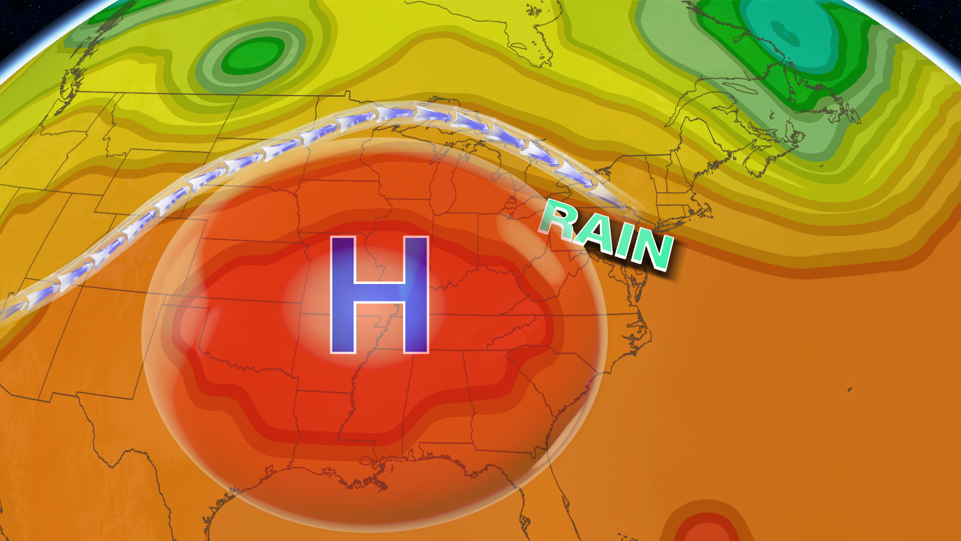
The Southeast is roasting under a heat dome that’s set to send several rounds of severe storms and flooding to the Northeast and Great Lakes this week. Fall will be here soon, but it won’t feel like it across much of the South and central US, where a heat dome stretching from the Rockies to the East Coast has pushed temperatures above 100 degrees over the past week, especially in Texas, Oklahoma, Kansas, Louisiana and Arkansas. Combined with the humidity, some days have felt closer to 110 degrees. The heat itself may not set many record highs in the next few days, but overnight lows are expected to be 10 to 15 degrees above average, with some spots as hot as 20 degrees above. Well over 100 record-warm daily lows could be broken over the next week. But the heat dome, an area of high pressure that traps warm air beneath it, isn’t just sending temperatures soaring. It’s also feeding a storm threat facing the Northeast and Great Lakes starting Tuesday in two ways. First, it acts like a boulder in the jet stream, obstructing the normal flow of air and sending storms riding up and around its edges. It’s similar to the setup that fueled deadly flooding across the Plains and Midwest earlier this month. It also sharpens the temperature contrast between the hot air it’s trapping and cooler air to its north and east. That contrast creates spin in the atmosphere, which developing storms can draw on to organize and strengthen. The first flooding rain threat begins Sunday afternoon and continues overnight into Monday, with the heaviest rainfall tracking through Pennsylvania and New York State into New Jersey and New York City overnight. Rain is already falling in the Midwest Sunday morning from Chicago to Detroit, and it could start moving east around 6 p.m., reaching New York City by 10 or 11 p.m. Two to 3 inches of rain are possible in a corridor stretching from the Great Lakes into southern New England, though confidence is low on how far east the rain will travel. More rounds of rain and flooding are likely Tuesday through Thursday somewhere in the Northeast, but confidence is low on exactly where those storms will set up. As the planet heats due to climate change, our warmer atmosphere can hold more moisture and fuel heavier, more frequent downpours.
Topics in this story
Gathered from external sources. Rights to this text belong to whoever originally published it.