A Pennsylvania couple faced a $13.4 million price tag for 182 acres; a conservation deal instead kept most of the land under permanent development restrictions
US News: In the mid-2000s, an undeveloped stretch of Bucks County, Pennsylvania, known as Rorer Tract, contained woodlands and cleared land used for farming. B.
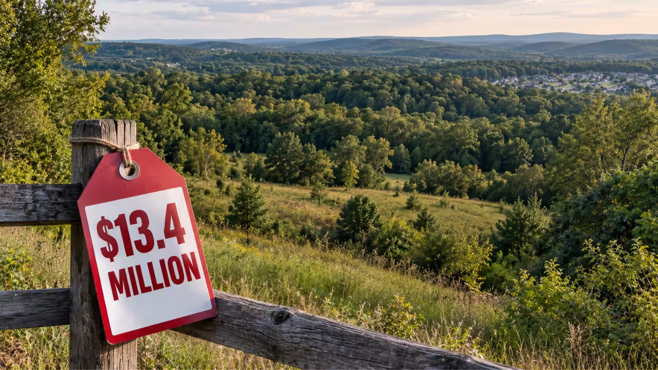
In the mid-2000s, an undeveloped stretch of Bucks County, Pennsylvania, known as Rorer Tract, contained woodlands and cleared land used for farming. But its zoning allowed the property to be developed into single-family homes, and a development scenario that was prepared for the land showed that its full commercial potential could accommodate at least 60 homes, while a clustered approach could potentially have produced as many as 218 residential units.Phyllis McGrady and Christopher Antoniacci already owned neighboring property, and held an option to purchase the Rorer Tract. Three appraisals eventually produced a required purchase price of $13.4 million. The couple could not afford that amount and terminated the option in July 2006. The decision became the starting point for a complicated conservation agreement that involved the landowners, the township, the couple and Heritage Conservancy.Conservation became an alternative to full developmentIn 2005, the township and Heritage Conservancy identified the Rorer Tract and the neighboring McGrady-Antoniacci properties as among the area's most significant remaining undeveloped properties. The conservation organization became involved as the parties looked for a way to protect the land without simply leaving its development value on the table.The original development scenarios were gradually replaced by a conservation subdivision plan. The plan concentrated homes in specific areas while placing conservation easements over the surrounding land, rather than allowing the entire tract to be divided into conventional residential lots. Development was not necessarily eliminated from every acre, but the amount and location of development were sharply constrained.The development rights were worth millionsThe Rorers agreed to sell a conservation easement over their tract to Upper Makefield Township for $5.615 million, and at the same time, Heritage Conservancy agreed to purchase the 182-acre property, subject to that easement, for $6.085 million. The two transactions, together with tax considerations, brought the economics of the deal close to the $13.4 million value that had previously been established for the property.The easement was formally conveyed on June 28, 2007, and the deed transferring the property to Heritage was executed the following month. The arrangement meant that the land could change hands without returning to the development potential reflected in the earlier appraisal. The $5.615 million was payment for development rights that were being removed from the property, not simply a purchase of 182 acres.Some homes were still part of the final planThe final plan approved by Upper Makefield Township allowed Heritage to sell 10 residential lots to developer Richard Zaveta for $5.175 million, and an additional lot was sold to another buyer for $425,000. The homes were concentrated along an access road rather than scattered across the full property, and the plan also placed conservation easements over the surrounding acreage.A later description of the transaction noted that the access road for the 10 residences was designed, where possible, to follow the existing gravel farm road, and the aim was to limit disturbance to the surrounding land.A neighboring couple remained part of the dealMcGrady and Antoniacci had already owned two neighboring parcels that totaled taling 45 acres and had approached Heritage about preserving the Rorer property. As negotiations progressed, they donated land and a conservation easement of their own and contributed $275,000 in cash and common stock toward Heritage's transaction costs. They also eventually bought a 37-acre piece carved from the larger property.That parcel was already covered by conservation easements, which means it could not be developed. The couple's purchase therefore increased their overall landholding while leaving the additional acreage under permanent development restrictions. The conservation arrangement was later examined in federal tax litigation involving McGrady and Antoniacci. The Tax Court's 2016 decision addressed the couple's claimed charitable deductions and the complex series of land transfers used to assemble the final conservation plan.What was preservedCourt records describe the Rorer Tract as a mixture of woodlands and cleared agricultural land, surrounded by properties that were also subject to development pressure, but its location made the acreage significant. The zoning rules allowed the 182 acres to be developed as single-family residential property without conservation restrictions. Depending on the development model, dozens or potentially hundreds of homes could have occupied the tract. Instead, the final arrangement concentrated residential construction into a much smaller portion of the landscape and subjected the rest to conservation easements.Eleven residential lots were ultimately part of the approved development plan, while the broader tract remained protected from the kind of unrestricted subdivision that had driven its $13.4 million valuation.The transaction also shows why conservation easements can command substantial prices, and the land itself remains privately owned and can continue to change hands, but a valuable part of its potential future use is permanently restricted.Catch the latest World News and Live updates. Download the TOI app.
Topics in this story
Gathered from external sources. Rights to this text belong to whoever originally published it.