UK weather: Fog to create hazardous driving conditions into next week
England and Wales are most likely to experience the foggy conditions on Sunday, before the threat shifts northwards into next week.
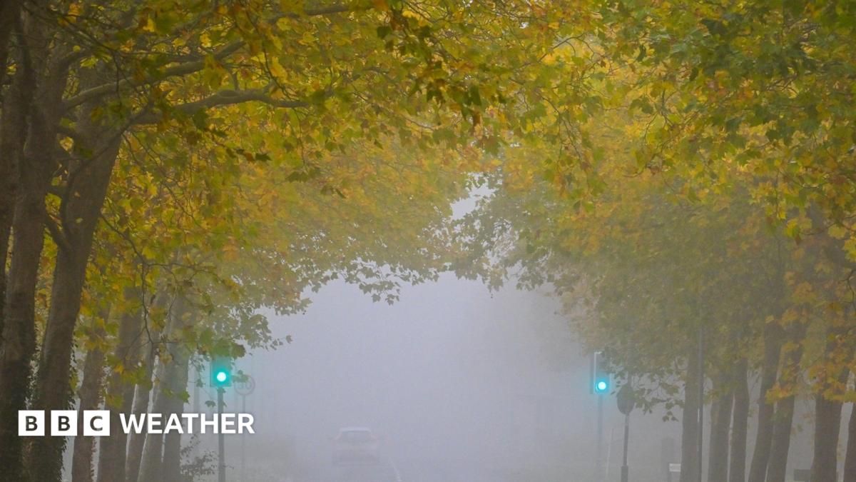
Dense fog will blanket parts of the UK on Sunday and into next week, causing dangerous driving conditions.
England and Wales are most likely to experience the foggy conditions on Sunday, before the threat shifts northwards into next week.
It comes after the Met Office issued a yellow weather warning for parts of England and Wales early on Saturday morning with visibility on roads predicted to drop to less than 100m in places.
Further warnings could be issued in the coming days as the waning strength of the late autumn sun means mist, fog and patches of low cloud are slow to clear.
Fog risk to shift northwards into next week
On Sunday morning the areas most at risk of seeing dense fog patches are parts of the Midlands, east Wales and eastern England. Some patchy mist and fog could form elsewhere too.
A weak weather front will bring a band of cloud and light drizzle over southern Scotland, northern England and the far north of Wales meaning these areas should have less chance of fog first thing on Sunday.
Brighter weather will develop more widely across Scotland and Northern Ireland and apart from the odd shower, many places here will enjoy spells of autumn sunshine.
From Monday onward, high pressure will remain the dominant weather system with the threat of fog shifting northwards.
As skies clear overnight and winds remain light, mist and fog patches will readily form, and combine with some slightly cooler nights and following days.
However as the high pressure drifts out into the North Sea, the wind across the south of the UK will change direction and strengthen.
Between Monday and Friday, the weather will not change very much at all.
The areas most prone to dense fog during the morning commutes this week are the Scottish glens, the Central Belt, the Cheshire Plains, the Vale of York and parts of Northern Ireland. However, some patches of mist and fog cannot be ruled out elsewhere too.
Disruption to travel is possible as the fog patches may be slow to clear from some places.
Though the UK will remain largely dry under high pressure, the east or northeast wind could introduce a few showers to eastern and southern coastal counties.
While daytime temperatures will remain close to average for early November, prolonged areas of fog and low cloud may keep some locations feeling noticeably cooler during the day.
Maximum temperatures during the afternoons will range from 11 to 14C north to south.
Meanwhile overnight lows will fall to 2 or 3C in the north, and around 5 to 8C further south.
With high pressure showing little sign of moving away, this largely settled and dry weather pattern looks set to continue through early November, with little prospect of any significant rainfall.
You can find out more detail for the weather outlook here .
Topics in this story
Gathered from external sources. Rights to this text belong to whoever originally published it.