Cloud pics wanted: NASA renews call for people’s photos of the sky
NASA has extended the deadline for a project involving a space satellite, the clouds and you.
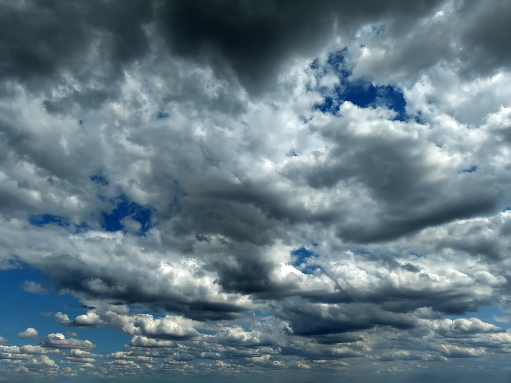
(NEXSTAR) – NASA has extended the deadline for a project involving a space satellite, the clouds and you.
The agency’s PACE satellite is circling the planet every 98 minutes, and NASA needs your help verifying what it’s seeing.
While overhead, the satellite is gathering environmental data, measuring how clouds and particles in the atmosphere absorb and reflect sunlight. What the researchers need help with is comparing what they’re capturing from up above with what we are seeing on the ground.
They’re asking people to participate by taking carefully timed pictures of the sky between now and the new, extended deadline of Nov. 1.
About a week into the initiative, the project had received 775 PACE match submissions from all over the world. A spokesperson called it “a great response,” but they’re looking for more.
Download the Globe Observer app and set an alert for when the PACE satellite is passing overhead. “Timing is critical!” the researchers say, so make sure you’re ready.
Five minutes before PACE passes overhead your location, head outside and get in position for your cloud observation.
When you’re ready for your observation window, click the “Clouds” tool.
Collect the cloud photos in the six directions as instructed by the app.
Note the researchers only want photos taken during daylight hours. More information on participating can be found here .
The photos you submit of the sky overhead can help give a better understanding of the far-away images captured in space, said Dr. Andrew Sayer, the PACE atmosphere lead. Because each pixel in the PACE satellite images represent a distance of about 0.75 miles across, ground observations will fill in the gaps.
“We want to be able to identify whether or not each pixel in a satellite image is a cloud or not, because if it’s cloudy we want to determine the properties of that cloud, and if it’s not cloudy we want to determine the properties of the atmosphere and surface underneath the cloud. … So the ground observers will help us to assess that.”
You’ll also get to see the results for yourself. As a thank you for participating, people who submit cloud observations get an email showing how their pictures compare to the satellite data for that location.
Topics in this story
Gathered from external sources. Rights to this text belong to whoever originally published it.