The polar vortex is weakening unusually early. Here's what that could mean for the weather.
The National Oceanic and Atmospheric Administration says a "very rare" November disruption is possible within days, with effects that could last up to two mo...
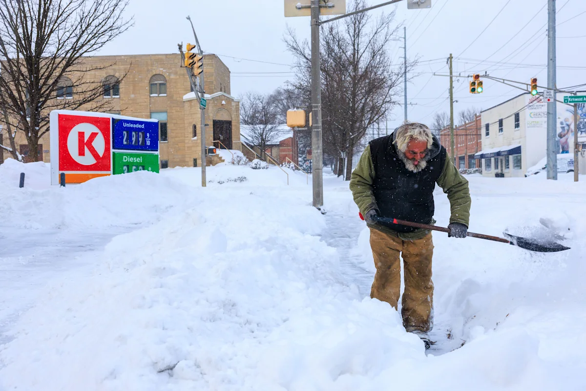
The polar vortex is weakening unusually early, forecasters have said, with a rare disruption possible within days that could send Arctic air traveling south over North America.
The polar vortex is a band of powerful winds in the stratosphere that circle the North Pole each winter. It keeps the coldest air locked high in the atmosphere until it is disrupted. Once the vortex weakens, pockets of that air can be pushed south, which can bring frostier temperatures to parts of the U.S.
In its updated November outlook, the National Oceanic and Atmospheric Administration's (NOAA) Climate Prediction Center said a disruption of the polar vortex could occur within days, possibly developing into a sudden stratospheric warming, which it called "very rare" for November. It warned that if this happens, its effects could last up to two months.
The polar vortex made its mark this January, when a lobe of Arctic air pushed south, bringing a deep freeze to the eastern U.S. and Canada. Parts of northern Minnesota fell to -43°F on Jan. 24, according to state climate data , with states like Indiana also experiencing record lows as Greenland's west coast recorded its warmest January on record .
NOAA said any effects in the eastern U.S. could compete with the influence of El Niño, which is still steering its outlook toward a milder November for much of the country.
Here's what we know so far — and what that could mean for your weather.
While strong sudden stratospheric warmings can disrupt the vortex and start the chain of events that sends the blasts of cold air down to North America, the jury is still out on whether the latest disruption will do this.
At NOAA's winter outlook briefing on Oct. 15, Jon Gottschalck, a branch chief at the Climate Prediction Center, said the combination of a strong El Niño and a westerly wind pattern high in the tropical atmosphere typically favors a stronger, more stable polar vortex, and in turn, fewer Arctic air outbreaks. He added that cold outbreaks should still be expected at times, but with more warmer-than-normal days overall.
If it takes hold, NOAA said the eastern U.S. is where effects could be felt, but El Niño's influence could compete against that. The climate phenomenon, which is currently in full swing and is expected to stay strong through at least late winter, warms the Pacific Ocean and generally brings milder weather to the U.S. There is a high chance it will become the strongest since records began in 1950.
NOAA said that as the polar vortex approaches, it's worth getting prepared.
"There is no cause to be alarmed when you hear about the polar vortex, but you should be prepared for colder temperatures," its guidance said.
"Check the forecast for your area on weather.gov to ensure you are dressed appropriately. It is also a good idea to check the items in your home and car emergency kits at the beginning of each winter season to ensure you are prepared for any type of hazardous winter weather," the agency added.
Why is the polar vortex weakening so early?
The polar vortex normally strengthens through the fall as the Arctic cools, creating a whirlpool of air above the North Pole, which is why a breakdown in November would be so unusual.
The vortex weakens in summer and strengthens in winter, with the winds forming miles above the North Pole. It holds its position in the Arctic until around December or January.
It can be disrupted when big swells of air from lower in the atmosphere bump into it from below, making it wobble and slow down. The big disruptions, known as a "sudden stratospheric warming," usually occur in deep winter, and can stretch or split the vortex, displacing the cold air and sending it further south.
If a major warming occurs within the coming days, it could be one of the earliest disruptions on record, experts told the Scientific American . The earliest polar vortex weakening previously recorded was Nov. 28, 1968.
"As a weather fan, this is a big event because it's so unprecedented," Judah Cohen, a climatologist at Massachusetts Institute of Technology told the publication.
Topics in this story
Gathered from external sources. Rights to this text belong to whoever originally published it.