UK weather: Storm Boelo clears but more wind and rain forecast
Another area of low pressure will pass close to the north-west UK with a Met Office yellow wind warning issued for Tuesday.
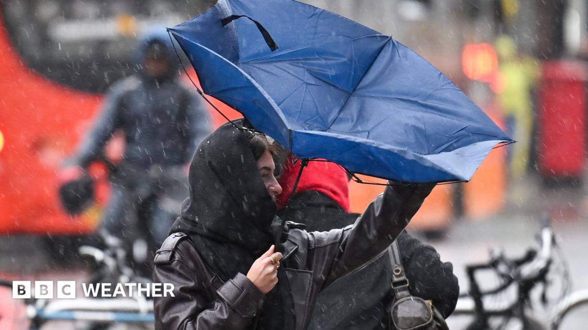
After a weekend of heavy downpours and severe gales, Storm Boelo is moving away from the UK and the weather is turning calmer.
However, this may not last long as another deep area of low pressure is already approaching from the Atlantic.
As this moves into north-west areas of the UK during Monday and Tuesday it will bring another dose of rain and gales.
Met Office yellow wind warnings have been issued for much of Scotland, northern areas of Northern Ireland, Wales and western England.
However, this latest weather system is unlikely to be as widely disruptive as Storm Boelo - or Storm Austen which came before it - and has not, so far, been named.
The next name on the list for the 2026/2027 season is Chloe.
Rain to parts of south-west England, Wales and Northern Ireland on Monday morning will move rapidly north-eastwards, reaching central, eastern and northern England, as well as most of Scotland by around lunchtime.
It will also be rather misty and murky over some coasts and hills.
As the rain clears, slightly drier conditions will spread across the UK from the south-west.
While many areas will remain cloudy a few bright or sunny spells are possible, especially in Wales and south-west England.
Southerly winds will bring warmer air than of late, especially in the south where temperatures may peak at 18 or 19C.
After a breezy start to Monday, winds will strengthen once again during the day, with widespread gusts of 30-40mph and 50mph gusts likely in many coastal areas and 65mph in some locations.
It will turn even windier overnight and Tuesday as the area of low pressure passes close to Northern Ireland and north-west Scotland, the very strongest gusts could reach 70-85mph in the Hebrides.
Yellow wind warnings are in place covering both of these areas starting from Monday evening into late Tuesday evening.
Check here for the latest information on weather warnings and keep up to date with the forecast for your area via the BBC Weather website and app
The Met Office warning suggests that there is a low risk of significant impacts, with the chance of travel disruption, power cuts, damage to buildings and some flying debris. Some trees are likely to get blown over.
Storm Boelo contained a spell of damaging westerly winds which effectively funnelled through the highly populated Central Lowlands, increasing the likelihood of impacts. In contrast the winds in this system will be southwesterly, with areas of high ground providing a greater degree of protection for the biggest towns and cities.
There is a risk of some localised flooding with more heavy rain forecast. Some coastal flooding is also possible where large waves coincide with high tides.
High pressure will build close to the UK from midweek onwards meaning the weather should gradually calm down.
Showers will continue on Wednesday but most places are expected to be dry by the end of the day.
Under light winds on Thursday morning, mist and fog could cause some travel disruption across some parts of the country. This should largely clear to leave a dry day with sunny spells.
A weather front could bring rain back into western parts on Friday but high pressure is then expected to rebuild with most computer weather models suggesting a drier and calmer spell is likely to develop over the weekend and into next week.
Topics in this story
Gathered from external sources. Rights to this text belong to whoever originally published it.