UK weather: largely dry start to November follows wet but sunny October
Provisional Met Office figures just released show the UK had a warmer, wetter and sunnier October than average but quieter weather has now arrived.
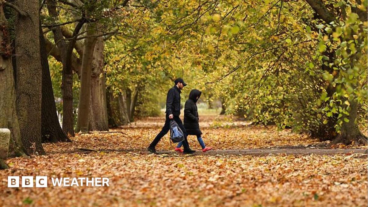
High pressure has seized control of the UK weather meaning largely dry, settled but chilly autumn conditions will continue this week.
Days will bring a mix of patchy cloud, sunny spells and a few showers, with frost and fog expected to form at night - especially in northern and western areas.
Temperatures will generally be around or a little below the seasonal norm and it will feel particularly chilly in southern England and south Wales where there will be a brisk easterly breeze.
The relatively quiet start to November follows a decidedly mixed October which - according to Met Office data just released was wetter, warmer and sunnier than average.
Provisional Met Office statistics show that the UK received 13% more rain overall than in a typical October.
All four nations had above average rainfall but the trend was particularly clear in northern Scotland, which came in 31% above the long-term average.
The wettest weather came during the final third of the month, especially as Storm Austen and Storm Boelo swept through.
The UK's joint-sixth wettest day on record was provisionally 24 October.
The Environment Agency said England had experienced its wettest week in two years but warned it was not enough to ease the ongoing drought.
Sustained above-average rainfall will be needed throughout the winter to counteract the effects of the hottest summer on record .
Rainfall was not the only element of October's weather story.
Sunshine amounts were above average for the UK as a whole - in fact it was the fifth-sunniest October since records began in 1910.
It was also a warm month with overall mean temperatures 0.9C above average.
The warmth was particularly notable in Shetland, which had its joint-sixth warmest October on record.
It marked the UK's ninth consecutive month of above-average temperatures.
The jet stream , which propelled Storms Austen and Boelo towards our shores, has now shifted north.
This has allowed high pressure to build, fending off major rain-bearing weather systems and keeping things predominantly dry through the first few days of November.
However, with high pressure centred across the north of the UK, a brisk easterly breeze will affect southern and eastern areas on Tuesday.
Gusts of 30-40mph are possible around some coasts and also for the Channel Islands.
The breeze will deliver a scattering of showers - most frequent in East Anglia and south-east England.
Many northern and western areas will stay dry though with early fog lifting to leave patchy cloud and sunny spells.
Temperatures will reach 11 to 13C but it will feel chillier than that in areas exposed to the wind.
Tuesday night will be rather cold with temperatures generally falling to between 3 and 7C, but possibly dipping below freezing in some rural parts of Scotland, Northern Ireland and northern England - giving a touch of frost.
This is also where fog is most likely with some dense patches possible, whereas further south it is likely to be too breezy for mist or fog to form.
The same pattern will continue until the end of the week with overnight frost and fog most widespread in northern areas of the UK, and daytime sunny spells interspersed with showers.
Temperatures in many areas will drop by a degree or two.
It is likely that a relatively weak area of low pressure will drift northwards from France over the weekend increasing the chance that patchy rain will move across the UK.
This could be followed by another drier interlude early next week, but beyond that most computer models suggest that high pressure will decline, allowing Atlantic weather systems to return
This would mean wetter and windier weather but there is a lot of uncertainty - with no definite sign of any storms on the horizon.
You can always keep up to date with the long-range prospects by checking our latest monthly outlook .
Topics in this story
Gathered from external sources. Rights to this text belong to whoever originally published it.