In 1982, Ronald Reagan addressed federal spending on risky coastal construction; he restricted subsidies; a 3.8-million-acre coastal system emerged
Explore how President Reagan's Coastal Barrier Resources Act of 1982 has shaped coastal development, restricted federal subsidies, and saved taxpayers billions while influencing property values and development patterns.
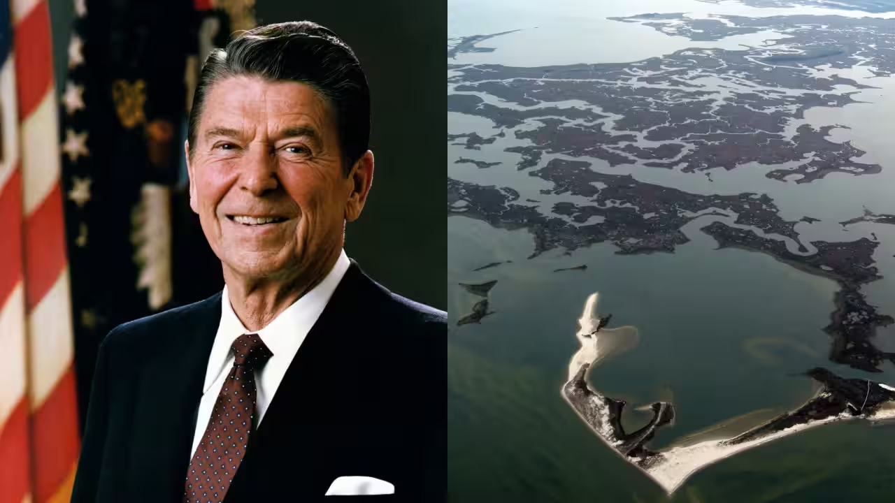
Some of America’s most vulnerable terrain consists of barrier islands, sand spits, and the marshes behind them. Every time a hurricane passes, seawater finds its way over them, storms toss them about, and waves strip them. However, for much of the 20th century, federal policies quietly reduced the cost of building there. The same stretches of shoreline were often repaired at public expense after each storm, and flood insurance, road funds, and disaster assistance reinforced the pattern.That cycle stopped in October 1982 when President Ronald Reagan signed the Coastal Barrier Resources Act, which didn’t prohibit anything. The Fish and Wildlife Service said Congress acknowledged that federal policies have long funded and encouraged development on coastal barriers, so it removed the incentive rather than outlawing construction.What the law does in realityThe John H. Chafee Coastal Barrier Resources System identifies coastal areas where most new federal financial assistance is restricted. Exceptions include certain emergency activities, military operations, energy resource activities, and the maintenance of navigation channels. The law does not prohibit construction funded by private, state, or local sources, so development can continue even when federal subsidies are unavailable.What it has savedA 2019 analysis published in the Journal of Coastal Research estimated that the law reduced federal coastal disaster expenditures by $9.5 billion between 1989 and 2013. It projected additional savings of $11.4 billion to $108.6 billion from 2019 to 2068, depending on modelled development rates and disaster-damage scenarios. The estimates are expressed in 2016 dollars. The more recent analysis estimates the annual savings on NFIP claims at about $930 million. Development within the system is much slower than in comparable areas outside it, and individual parcels are less likely to be protected by seawalls and similar hard structures.A 2007 analysis by the Government Accountability Office revealed that around 84% of the system's land was underdeveloped but noted that building was going on regardless in places, aided by commercial interest, local government backing and affordable private flood insurance. It said several federal agencies had also provided prohibited assistance in some cases. A new study examines what happens at the boundaries of these protected areas.The spillover effectThe study also found evidence of a spillover effect: although building density was lower inside designated areas, development density was higher in some nearby areas. Between 1,000 and 2,000 meters from system boundaries, building density was 20% to 47% higher than in comparison areas. Flood insurance claims per acre were 40% to 64% lower in these bordering areas, and the authors estimated that higher development and property values generated about $911 million a year in additional local property-tax revenue.The estimated effect varied by state. Building activity was lower in 10 of the 13 states analyzed, while the estimates were positive in Alabama, Florida and New York. The authors suggested that differences in state and local policies could help explain these variations. The state-level results show that the overall trend did not apply uniformly across every location.More than four decades later, the core idea of the legislation remains unusual. It never dictated to landowners what they could build. It simply announced that Washington would no longer pay for it. The agency now has 942 units in 24 states and territories along the Atlantic, Gulf, and Great Lakes coasts, as well as in Puerto Rico and the US Virgin Islands, and Congress still has to approve most changes to the map. Whether this market-style strategy can be used elsewhere, as the authors recommend for inland floodplains and wildfire-prone areas, depends on whether legislators are willing to let people bear their own risk.You use AI every day. Now get your AI Quotient. Take the AIQ test.
Topics in this story
Gathered from external sources. Rights to this text belong to whoever originally published it.