In 2004, researchers scrolling through satellite imagery over Greek farmland spotted faint lines; mapping uncovered 28 miles of Rome’s buried Via Egnatia
Rest of World News: From the ground, the farmland of eastern Macedonia in northern Greece looked much like any other agricultural landscape. Fields stretched across the p.
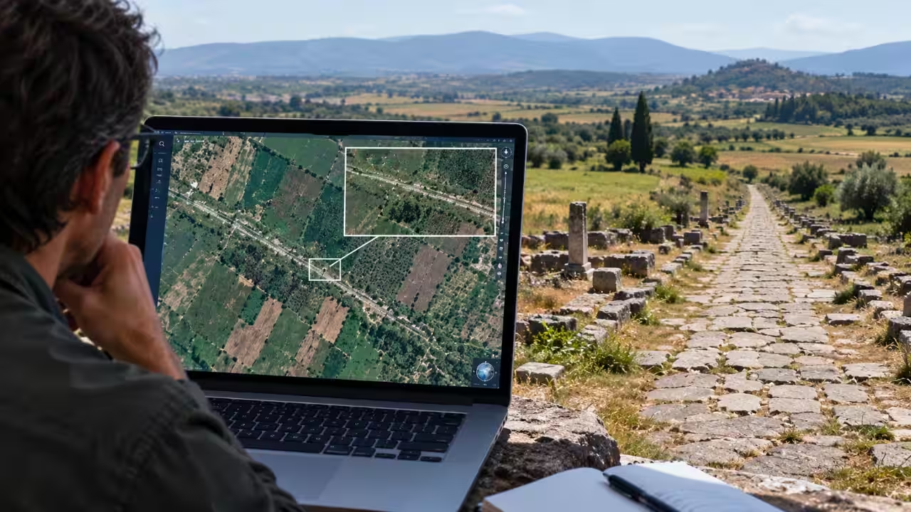
From the ground, the farmland of eastern Macedonia in northern Greece looked much like any other agricultural landscape. Fields stretched across the plain, broken by modern roads and settlements, while much of the ancient infrastructure that once crossed the region had disappeared beneath centuries of cultivation. But satellite imagery offered a different view. Faint linear marks visible from above began to reveal the possible remains of one of the Roman world's most important roads, the Via Egnatia.According to research published in the Journal of Cultural Heritage, the Via Egnatia was built to connect the Adriatic with Byzantium, passing through important settlements including Philippi and Thessaloniki. Although its route through Greece was known from historical sources and surviving archaeological remains, large sections had disappeared from the visible landscape. Researchers from the Aristotle University of Thessaloniki combined aerial photographs, satellite imagery, historical maps and archaeological evidence to trace its buried remains, identifying a 45-kilometre, or roughly 28-mile, stretch between ancient Amphipolis and Philippi.Reading the landscape from aboveAccording to research presented by CIPA Heritage Documentation, the breakthrough was not simply a matter of opening Google Earth and spotting a Roman road. Researchers had already been investigating the area using aerial archaeology and older mapping. In 2002, their work north-west of Philippi located marks associated with the buried road, while excavation cuts made in 2003 and 2004 supported the interpretation. These findings encouraged a larger programme combining historical records, aerial photographs and remote-sensing evidence to trace the ancient route. Researchers compared historical documents, old aerial photographs, maps and high-resolution satellite imagery to identify marks that could represent archaeological remains. The approach was particularly useful because buried structures can leave subtle traces in soil and crops, even when nothing obvious remains on the surface.The QuickBird-2 image captured on April 29th, 2004 was one of those images used during the research, and it could be accessed via Google Earth Pro. Unexplored linear features southwest of the ancient city of Philippi caught the attention of the researchers, and they collected 78 colour images in order to analyse this place. These marks had a width of several meters, and they occurred in linear features which raised curiosity about their nature. The importance of the marks was in the pattern. One straight line could appear in a field and be explained in different ways. However, when the same linear marks occurred in similar places as the ancient route, it was more convincing.A Roman road hidden beneath farmlandThe Via Egnatia was not an ordinary local track. According to Greece's Ministry of Culture, it began from major Adriatic ports in what is now Albania and crossed the Balkans towards Thessaloniki and eventually Constantinople. It served as a major route for movement, trade and communication across the Roman Empire and remained important for centuries afterwards.However, the remnants of the road are not preserved evenly across all areas. While in some cases one can notice the road pavement, in others, any evidence has been covered up by further construction work and agriculture. Thus, remote sensing proved to be especially helpful. It provided researchers with an opportunity to locate the road remnants without prior knowledge about their location. The section that extended from Amphipolis to Philippi was one of the most evident. The archaeological survey identified not only the hidden road but also around 300 new archaeological sites, according to the French School of Athens archaeological chronicle. The land itself had become an archaeological text. Any shifts in the soil, plants and fields may have held information relating to the buildings underground. Where the conditions were right, these small differences formed shapes or lines that were much more understandable from above ground than from the ground.From pixels to archaeologyThis discovery showed how technology was shaping archaeology on the ground. Satellite imagery was not meant to take the place of excavation but was rather used to guide researchers in the selection of sites with potential archaeological remains and to study vast areas without even going on the ground.The Journal of Cultural Heritage further says that the research programme conducted in eastern Macedonia had already identified hundreds of unknown archaeological sites through systematic study of aerial and satellite imagery. The Via Egnatia emerged as one of the most fascinating cases where the buried stretches created a continuous route and could be compared against historical and archaeological data. The Roman road had continued to exist for centuries in physical form while being invisible at the same time. Farmers could plough fields over the route while not realising what was underneath their ploughs. Then some lines started showing up on digital images.What resulted was not only a road that had been forgotten over time, but also proof of how an ancient transport infrastructure can exist as scattered remains in a contemporary agricultural environment, just waiting to be discovered through the proper use of archaeology, historical documentation, and satellite imaging.Catch the latest World News and Live updates. Download the TOI app.
Topics in this story
Gathered from external sources. Rights to this text belong to whoever originally published it.